|
«Previous Content Next»
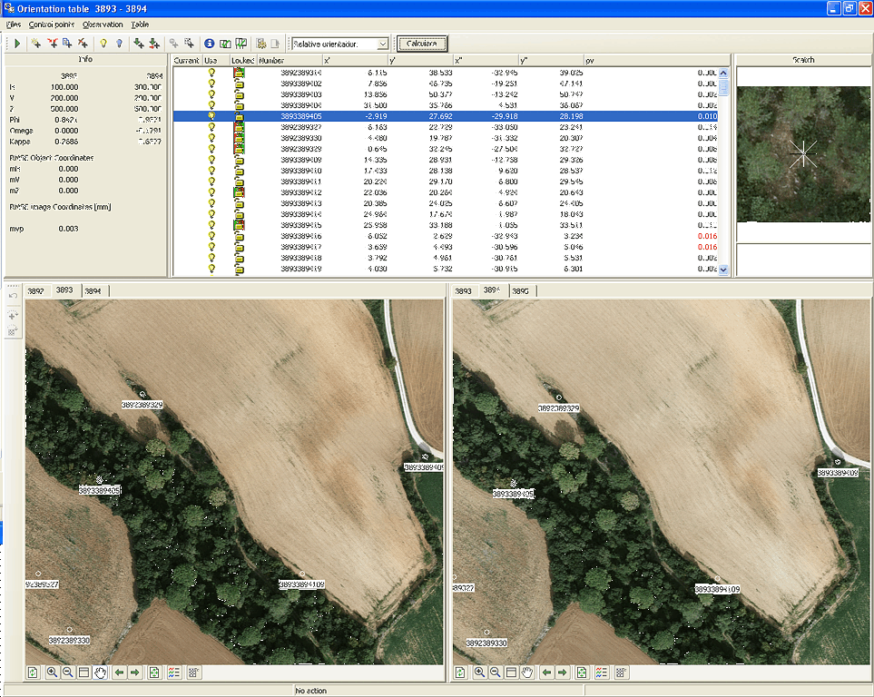
External orientation
- describes the coordinate transformation from world to image coordinates
- input of already known orientation elements from Match AT, Z/I ImageStation, Erdas,DiAP, Pat-B
- input of world coordinates of control points from ASCII file
- definition of the type of control points (full, only position, only elevation, tie point)
- definition of the control points weight
- when collecting the data for aero triangulation automatic panning to approximate position of tie points
- overtaking of image coordinates from neighbour models
- automatic panning to approximate position of control points with known world coordinates
- definition of image coordinates in stereo
- report of external orientation

«Previous Content Next»
|
|
|

 The Workflow