|
«Previous Content Next»
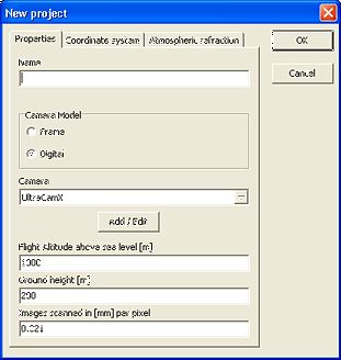
Project definition
- name of the project
- definition of the camera
- definition of coordinate system
- correction for Atmospheric refraction
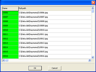
- definition of the raster full path name and its name in the project
- when using AeroSys for Windows (the module for aero triangulation) it is recommended to use sequential numbers for images in strip
- definition of flight strips
- possible loading of AB GPS/IMU


«Previous Content Next»
|
|
|

 The Workflow