|
«Previous Content Next»
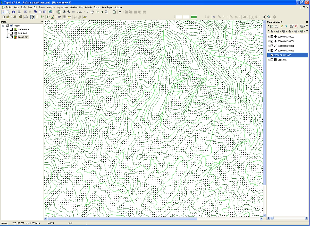
DEM editing
- easy detection and correction of input data errors
- option of terrain modeling / modification
- instant on-screen control (contour lines, profiles)
- adding, deleting of break lines
- modifying of all points in polygon (deleting, leveling, adding/subtracting elevation)
- contour lines can be displayed both in mono and stereo
- interactivity !
«Previous Content Next»
|
|
|

 The Workflow